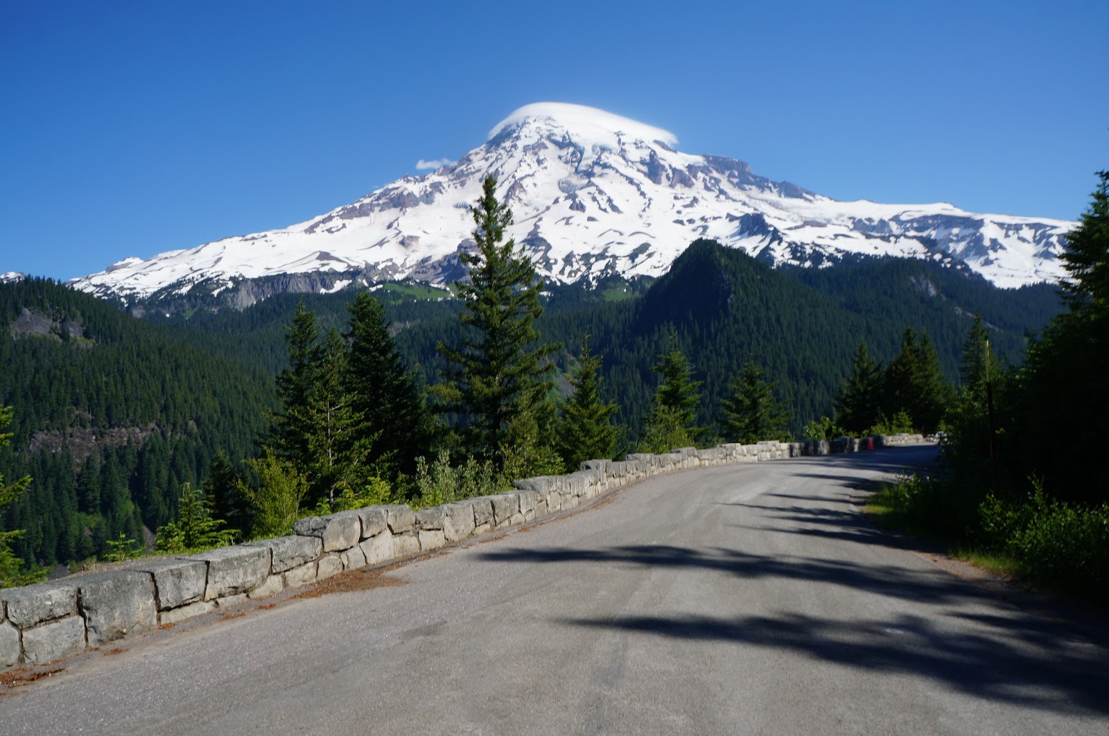
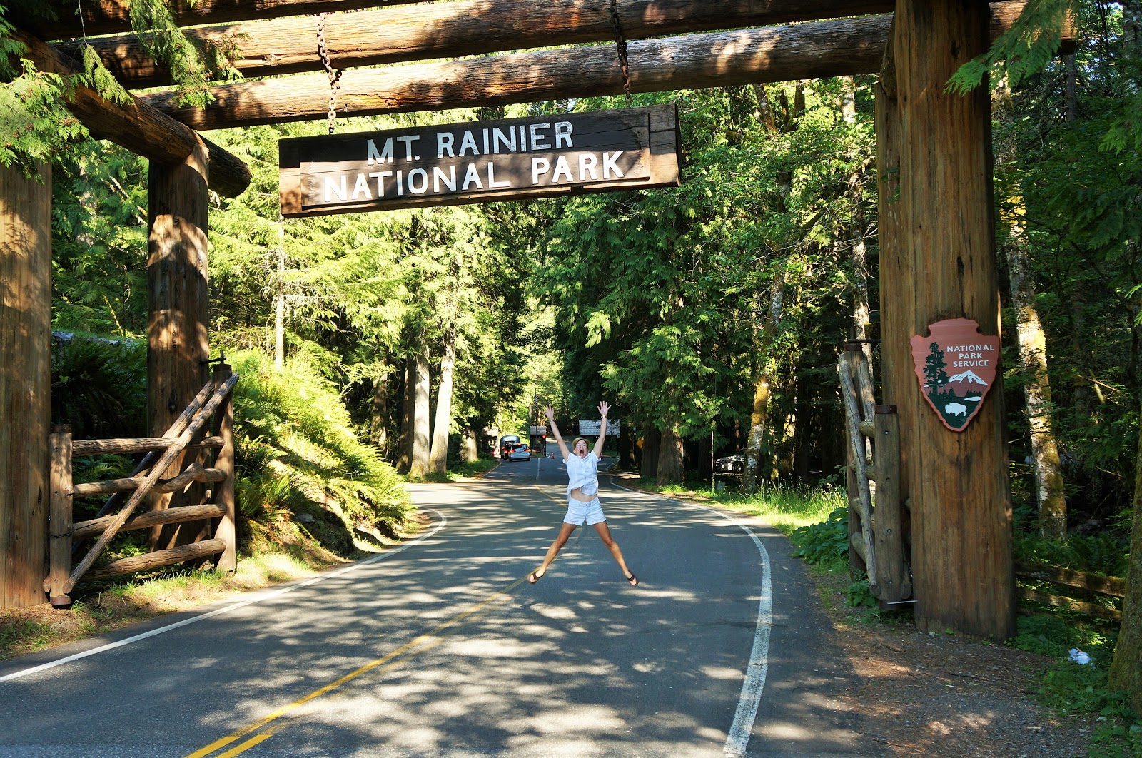
Our next stop in Washingtonpalooza was the tallest volcano and the 5th highest peak (14,410 feet elevation) in the contiguous United States: Mount Rainier National Park!
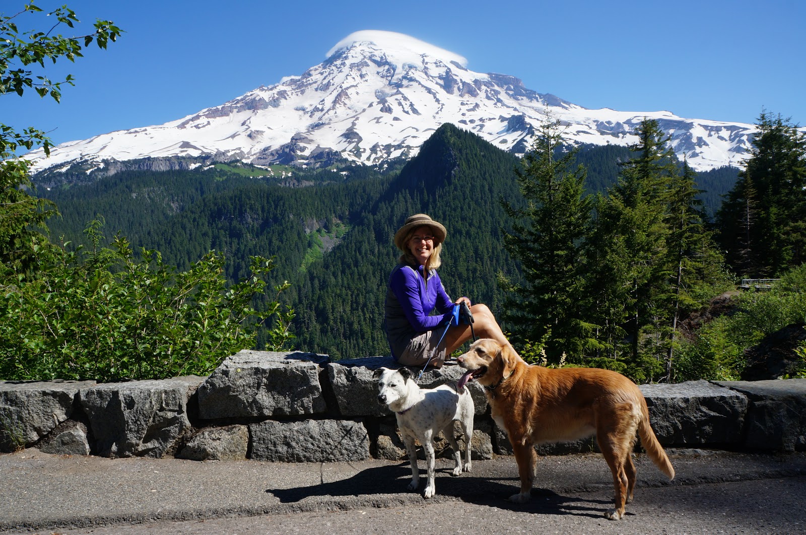
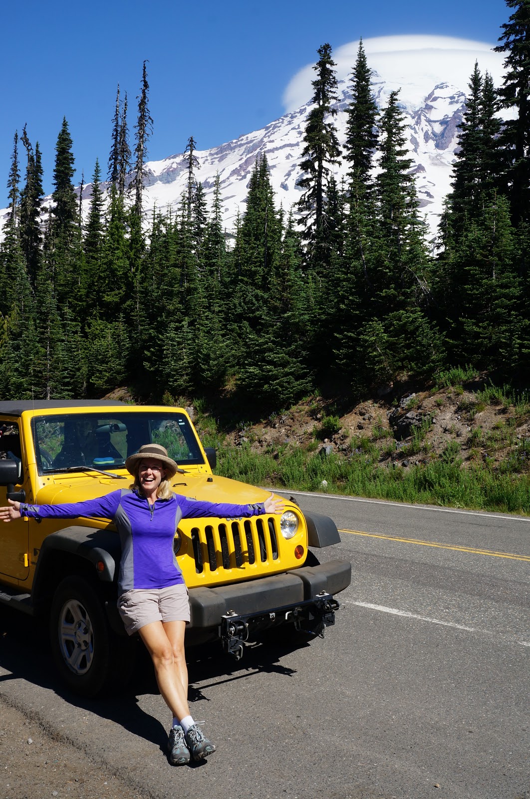
Over 10,000 hikers attempt to summit Mt. Rainier each year, and only half succeed. We figured we’d save ourselves the trouble of failing and just not even try. But that didn’t mean we couldn’t stand below, awestruck at her gorgeous beauty!
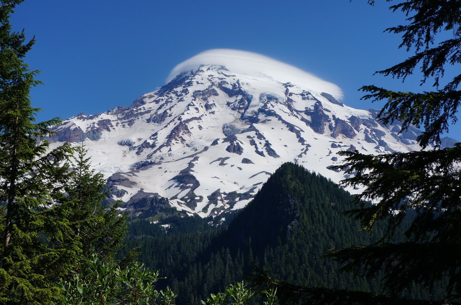
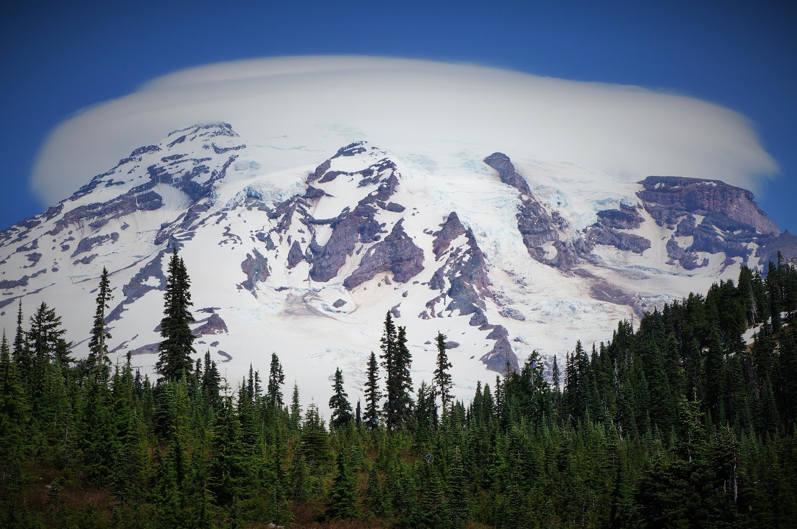
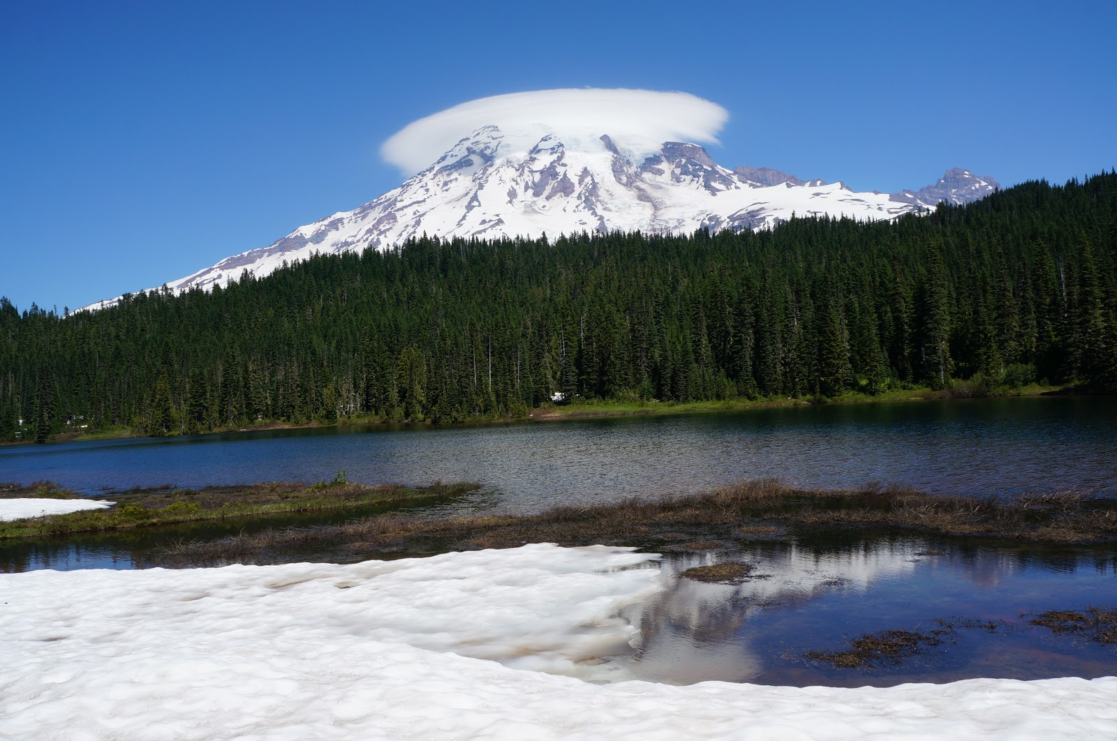
The cloud hanging out at the top one day made us think of Donald Trump’s wispy little hair swirl.
It is the most “topographically prominent” mountain in the U.S. — fancy words that mean it’s really, really view-worthy in all directions, including as far away as Corvallis, Oregon and Victoria, British Columbia.
Mt. Rainier is an active (but currently sleeping) volcano and they do not know when it will erupt again next. Scientists claim they will be able to give everyone ample warning, but that didn’t work out so well for Mt. St. Helens in 1980, now did it. #skeptical
Because of its huge amount of glacial ice, smart scientists say if/when it blows, its massive and extremely destructive “lahar” (muddy, slurry, shitty, disgusting wall of fast flowing crud) will threaten a huge portion of southern Seattle, meaning real estate might once again be affordable there within our lifetime. Maybe.
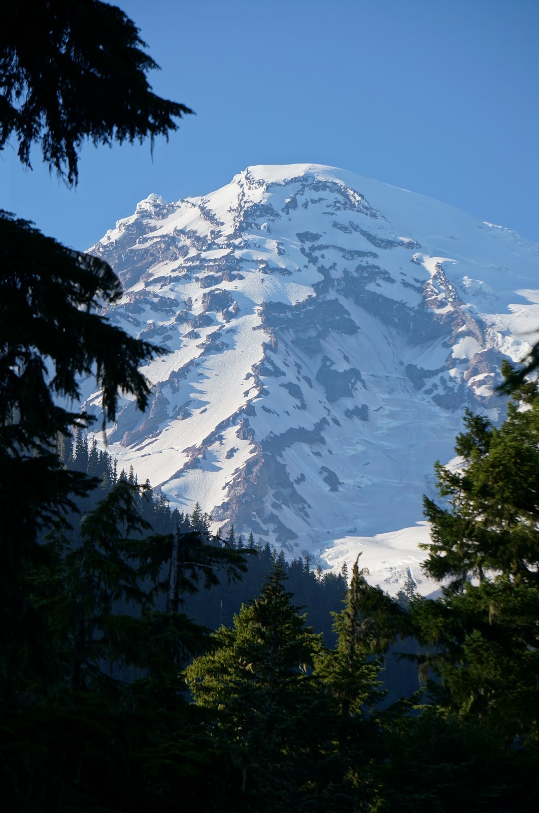
Mt. Rainier has 25 major glaciers – 36 square miles of ice – making it the largest glacier system in the U.S., outside of Alaska. Glacial ice moving downhill has eroded and removed at least 1,000 feet of the top of Rainier over time, and unless/until there are renewed eruptions, the entire mountain could eventually be worn completely away. Like an anthill kicked to nothing by a bratty child.
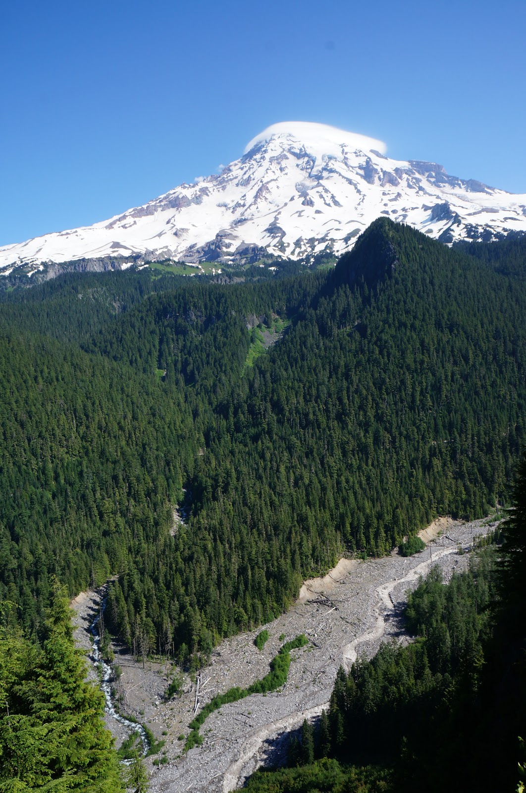
Rainier’s slopes occupy only a third of the National Park, with lush thick forests surrounding. Over 97% of MRNP is federally-designated wilderness – rugged AND beautiful, just like Philip. 🙂
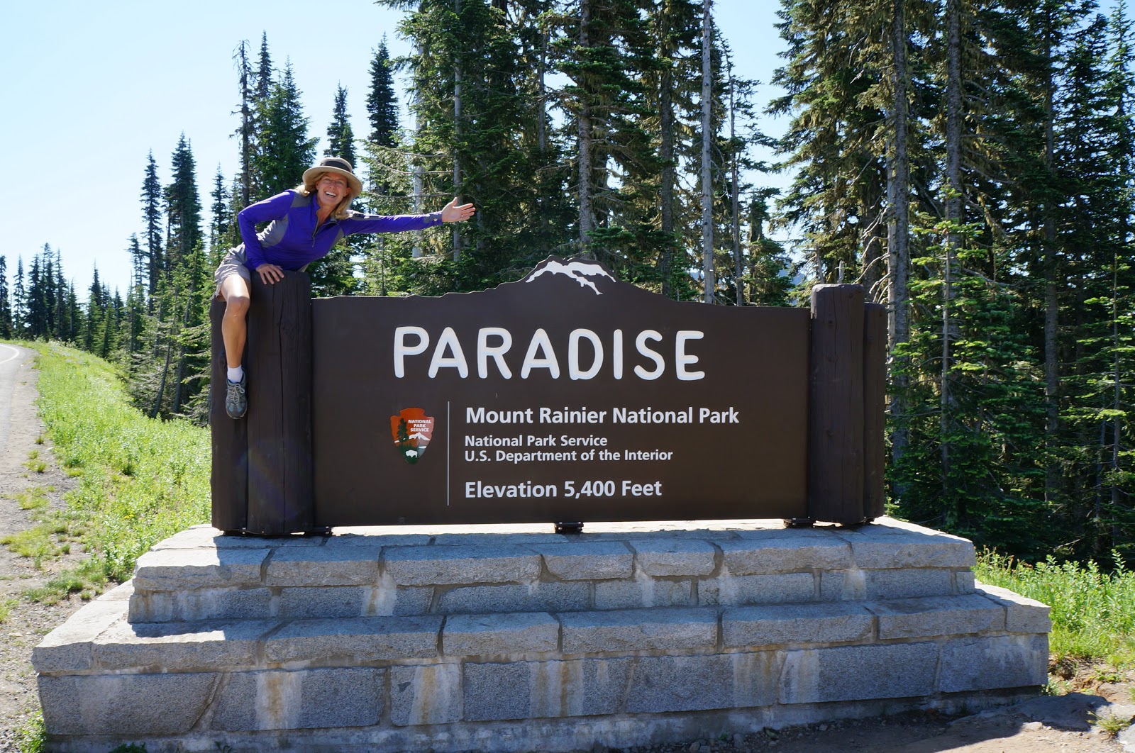
Paradise is the main destination for most park visitors, and at 5,400 feet elevation, it’s as close-up as most visitors are going to get to Rainier’s glorious views. Perfectly named!
On a peaceful, non-breezy day (not today), you can see the entirely of Mt. Rainier in the water at Reflection Lakes, making it one of the most-photographed areas of the park.
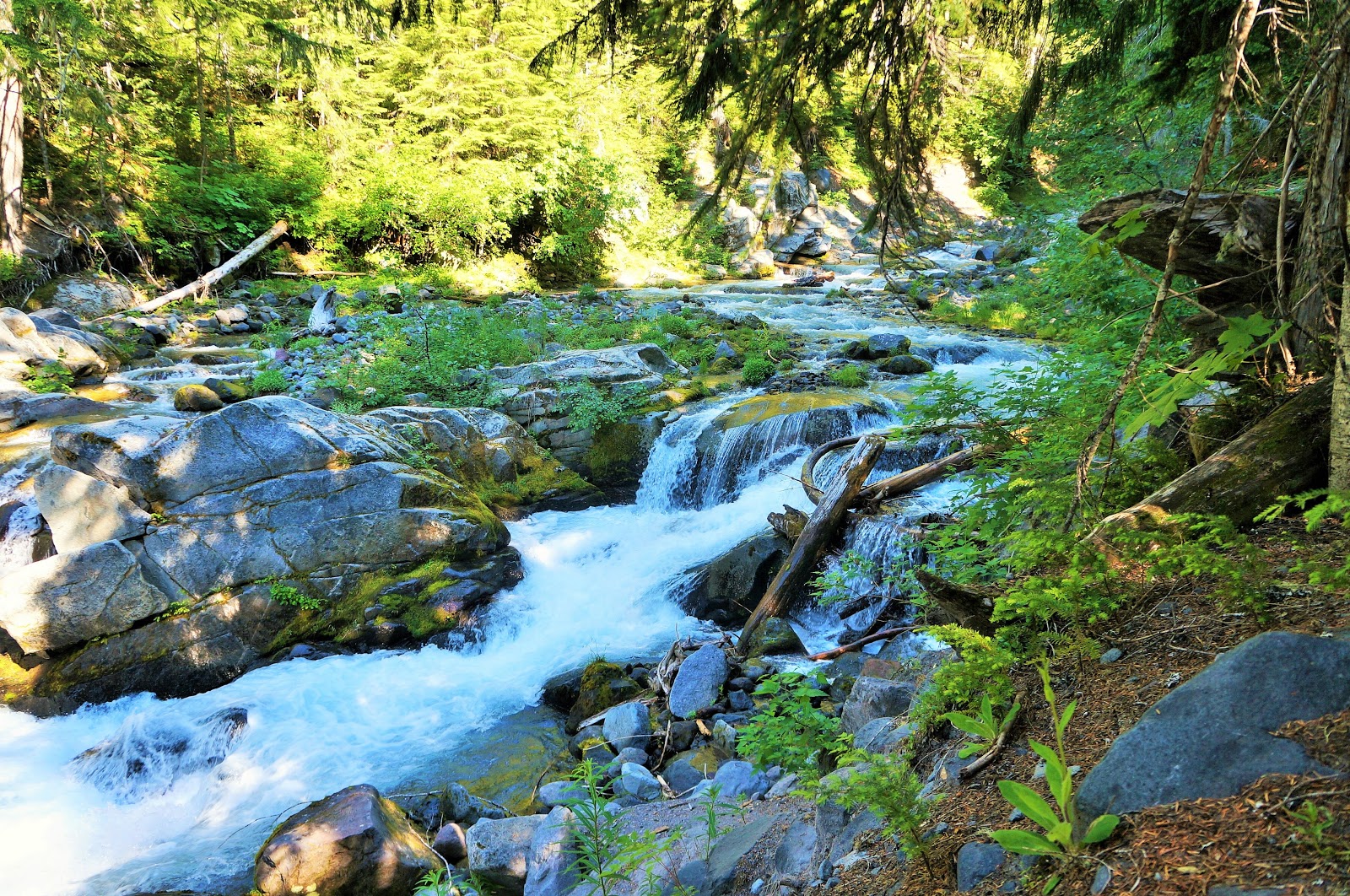
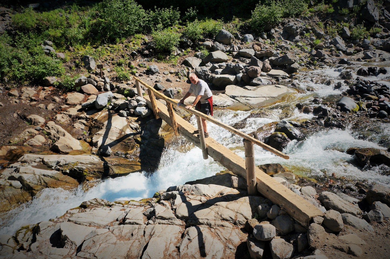
We took the hike to Comet Falls, so named because the waterfall looks like a comet with a long tail streaming down. Can you spot little Philip?
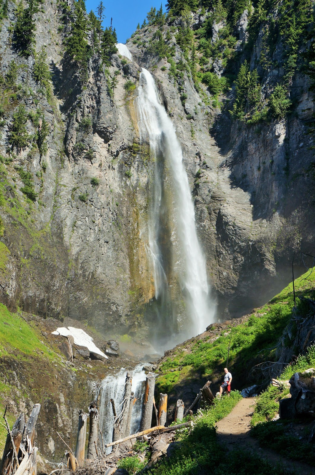
One of the highest of many waterfalls in the Park, Comet Falls plunges 320 feet and the entire hike is alongside a rushing, crashing creek delivering the water below.
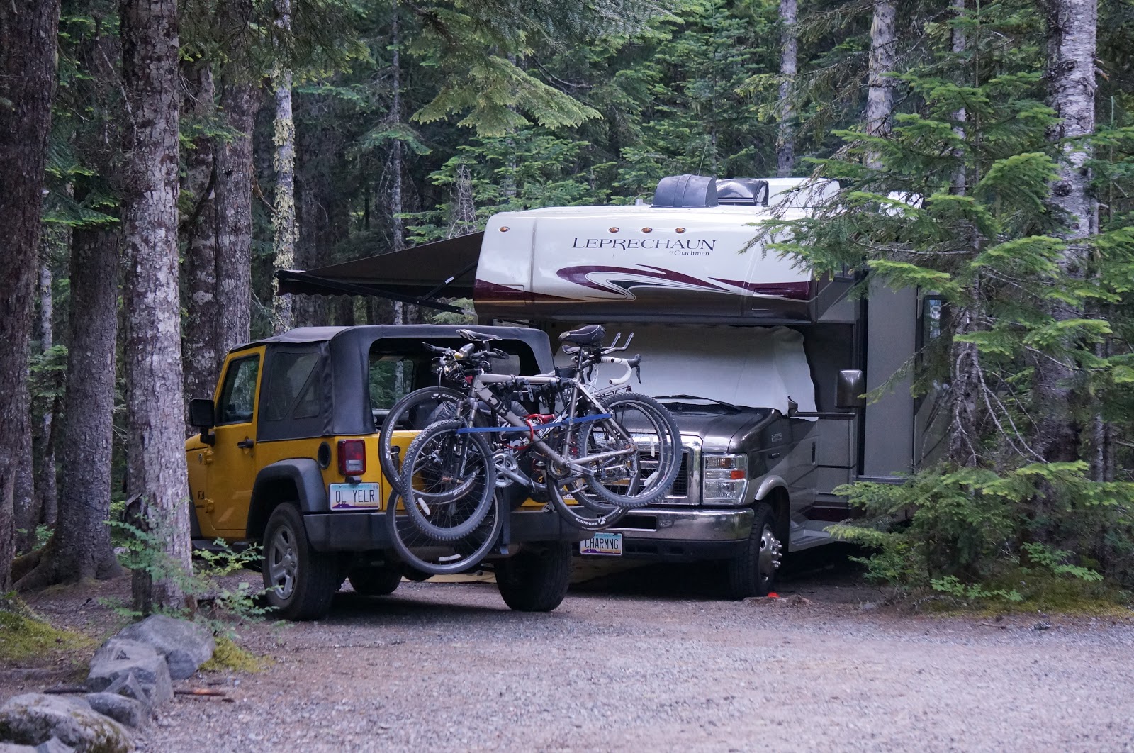
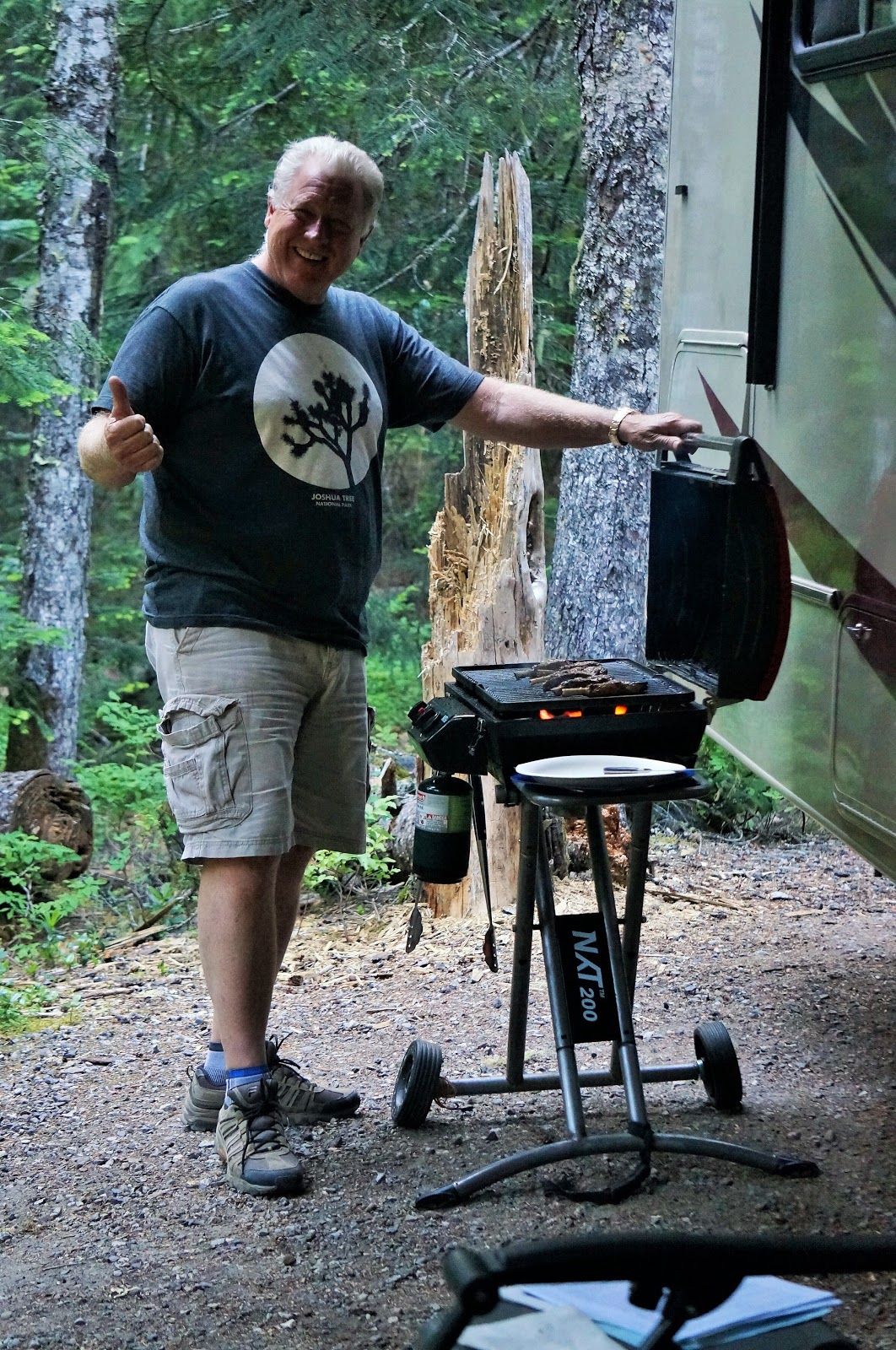
Our campsite was tucked into the woods, and the fact that there is NO (repeat, NO) cell or internet signal (not even weak, not even spotty, repeat, NONE) anywhere in Rainier’s 236,381 acres meant we were forced (ok, totally enjoyed) being 100% disconnected from the real world for 3 days. There aren’t many places like that on the planet anymore!
Mt. Rainier had us jumping for joy!
Next up, a week-long exploration of the Olympic Peninsula Loop: the 329 mile scenic route that surrounds Olympic National Park, offering mountains, rainforests and Pacific Ocean beaches all-in-one! We’re gettin’ loopy!

Leave a reply