
Our summer ’24 trail has brought us to “Trail Town USA,” also known as Damascus, Virginia, where seven — count ’em — renowned hiking trails intersect.


Appalachian Trail Days
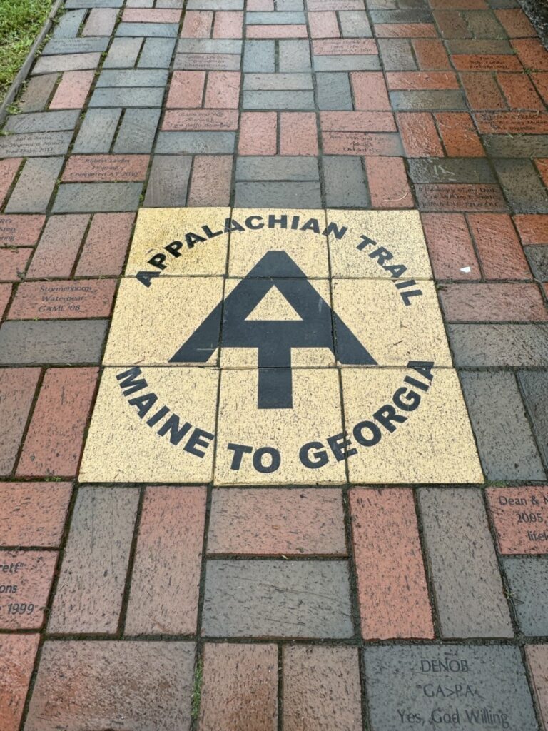
Like the Pacific Crest Trail in the West, the Appalachian Trail (the “AT” to the cool kids) in the East runs north-South across the entire U.S. Approximately 3,000 hardy souls attempt the 2,198.4-mile trail every year, but 75-90% usually quit before finishing, so completing this strenuous trail is quite the badge of honor.
Damascus is the most famous town on the entire AT, and it is here that they host Trail Days, a festival of hiker culture, now in its 37th year. Many A.T. “thru-hikers” (doing the whole thing all at once) time their six-month journey from Georgia to Maine to end up here in mid-May for Trail Days, a weekend for which the population of Damascus goes from 814 to over 20,000.
During Trail Days, most hikers stay in a hastily assembled Tent City, and a variety of services are offered for free by various groups and community organizations, including meals, haircuts, laundry, gear repair, massages, and even veterinary service for the dogs making the trek with their masters.


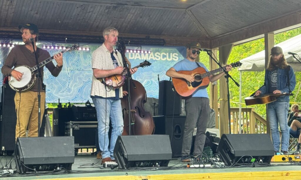
There’s also a packed schedule of events, concerts, activities and presentations, including talks by crazy people like a guy who has hiked the entire AT eighteen times, and one lady who did the AT with her fifteen (!!) children. Live gear auctions, timed tent-building contests, hiker talent shows, contra dance lessons, and even musical chairs keep everyone entertained.
The bummer this year was rain …. lots of rain, all weekend long. But if you want to know a group of people unaffected by weather or any type of adversity, it’s AT thru-hikers. It rains, they keep going. They’re tired, they keep going. Something hurts, they keep going. So the massive amounts of mud through the festival grounds didn’t faze anyone.

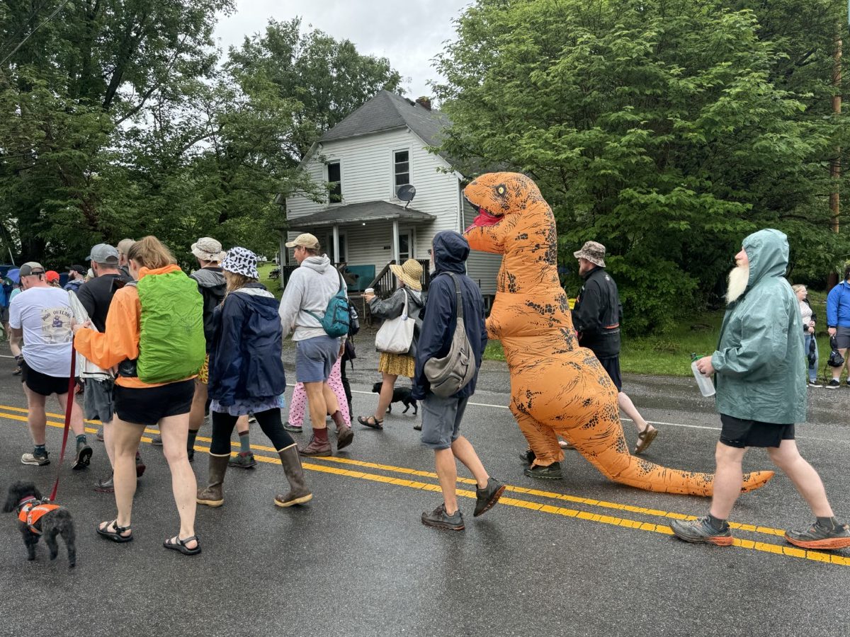
It’s a massive reunion of thru-hikers past and present, culminating in a Hiker Parade delineated by year hiked, with the oldest thru-hikers in the front, and the most recent thru-hikers in the back. By tradition, the crowd lines up with super soakers and 5-gallon buckets of water to douse the hikers as they go by … though the rain had everyone soaked before the parade even began.

Mad props for the people who did it in the 60s and 70s — that was 50-60 years ago! And they did it without cell phones, GPS, high-tech microfiber fabrics, sleeping bags that weight 1/4 oz., bear spray, or any of the modern conveniences.

Picking the thru-hikers out of crowd isn’t hard. They are carrying all their belongings in a 70-pound backpack, usually wearing brightly patterned waterproof clothing, and often (but not always) younger and more fit than most. You can also follow your nose — their hot soapy showers are generally few and far between. The parade was a hoot of people-and-dinosaur watching.


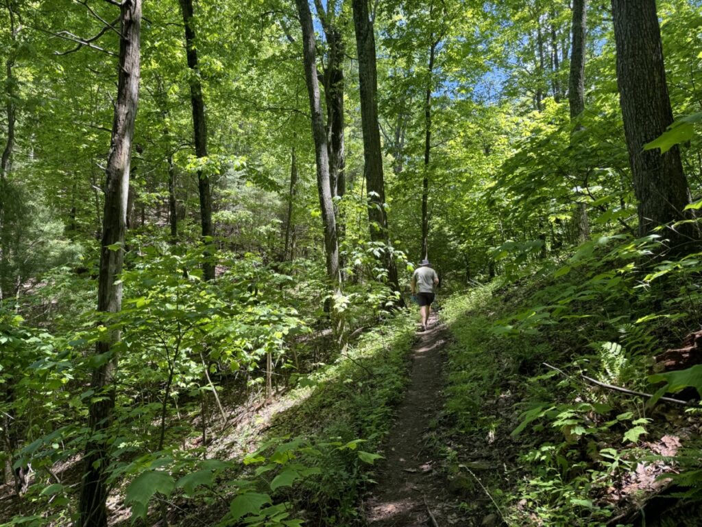
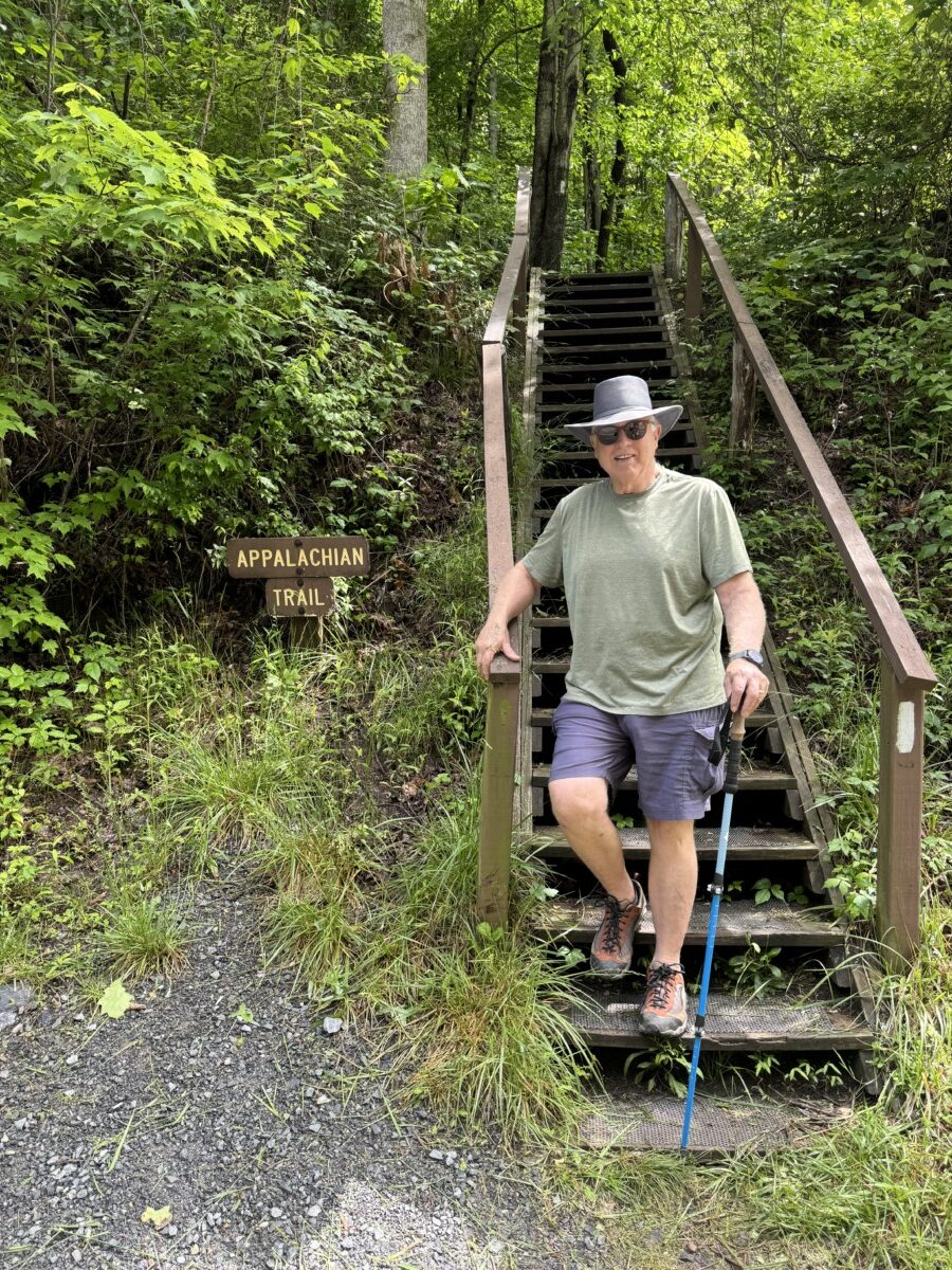
No doubt – the hiker culture runs deep in these parts! We did our own little stint on the AT and can proudly report that we have now covered 8 miles. Only 2,190.4 miles left to go before we die!

The Virginia Creeper Trail
If you’re like me and you like biking with little-to-no effort whatsoever, then have I got a trail for you! Raise your hand if you’d love 17 downhill miles! That’s right, all flat or downhill bicycling. It’s the Virginia Creeper Trail!
Like most of our favorite bike paths, the Creeper is a rails-to-trails project wherein old abandoned railroad lines are converted to recreational paths. The path is named for the Virginia Creeper Railroad, whose steam locomotives had to slowly creeeeep their way uphill on the steep grades of these rolling Virginia mountains. A vine called Virginia Creeper also grows on trees in this area, turning a deep red in the fall.
The trail is actually +/- 35 miles and intended for hiking, biking or horseback riding, but the way most people enjoy it is by hiring a shuttle in Damascus to take them to the “top” at the pretty lil Whitetop Station, a reconstructed railway station at 3576 feet elevation.

Then, ride back down to Damascus, going down 1600 feet in elevation along the 17 miles overall, taking the average rider 2.5-3 hours. You **could** continue on another 18 miles to Abingdon, but it’s mostly flat and not nearly as pretty.

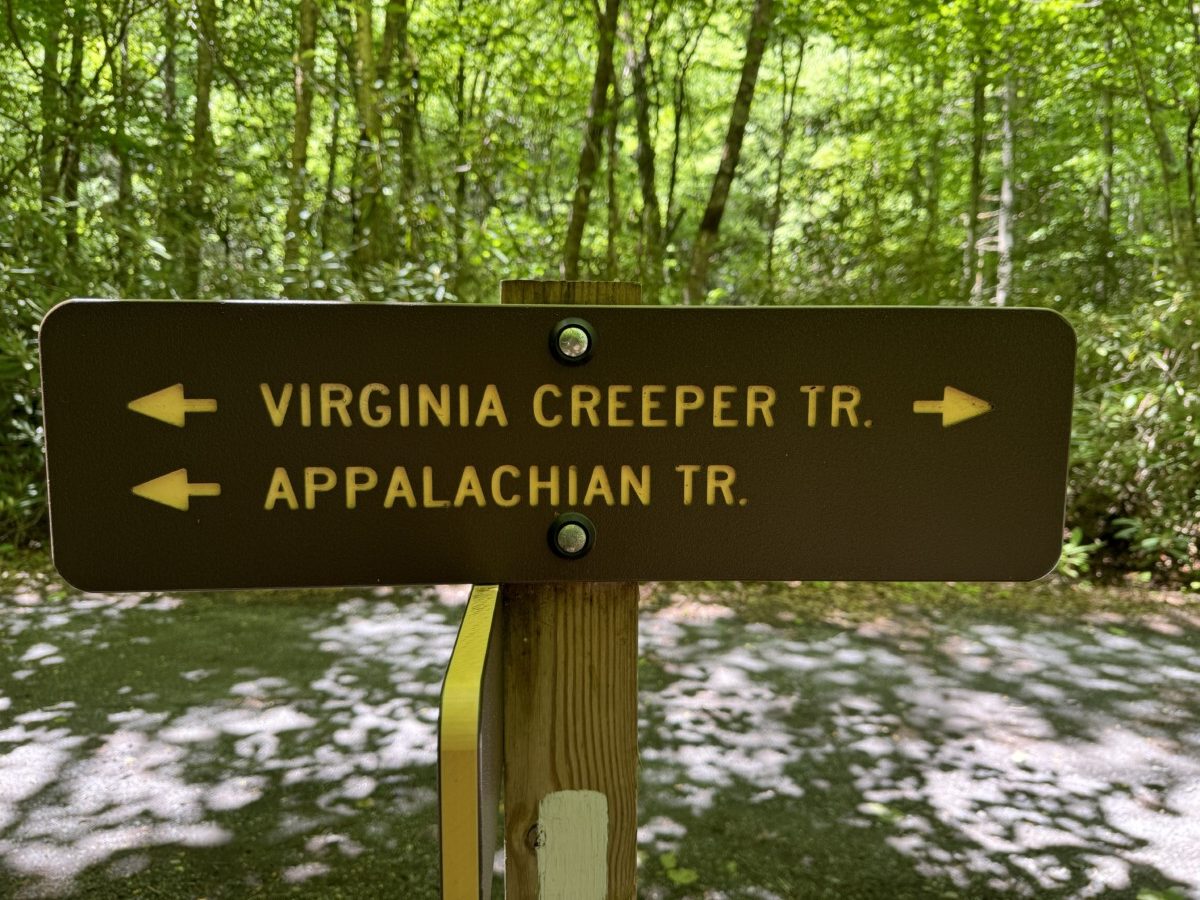
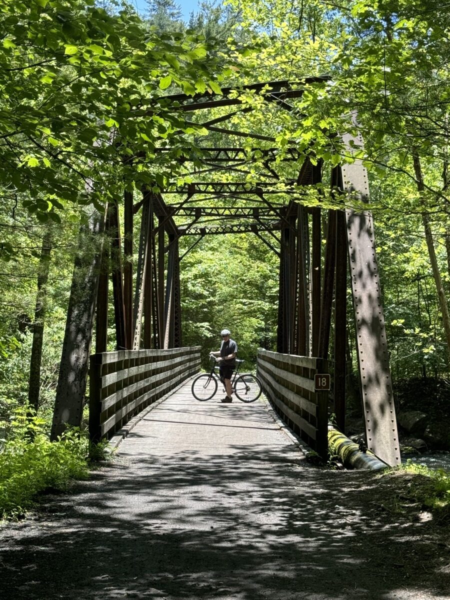
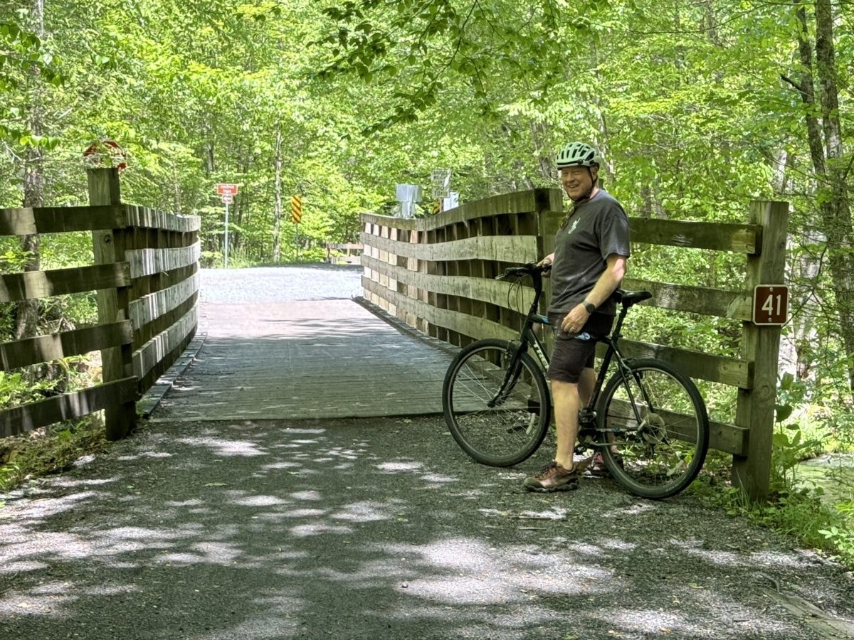
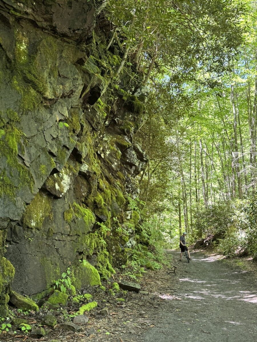
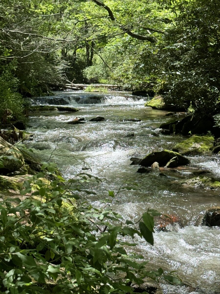
You’ll be riding over 27 boardwalk-style bridges, as the Creeper trail meanders back and forth over the rushing waters of the wild trout stream Laurel Creek, as well as intersecting with the Appalachian Trail at various points.
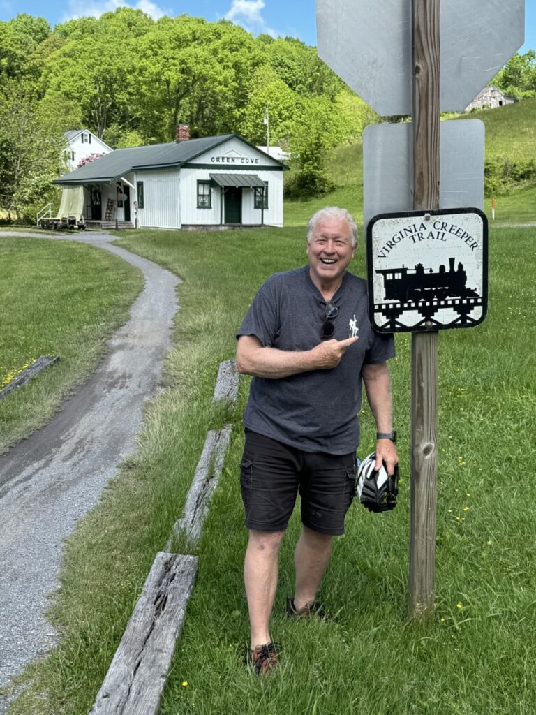
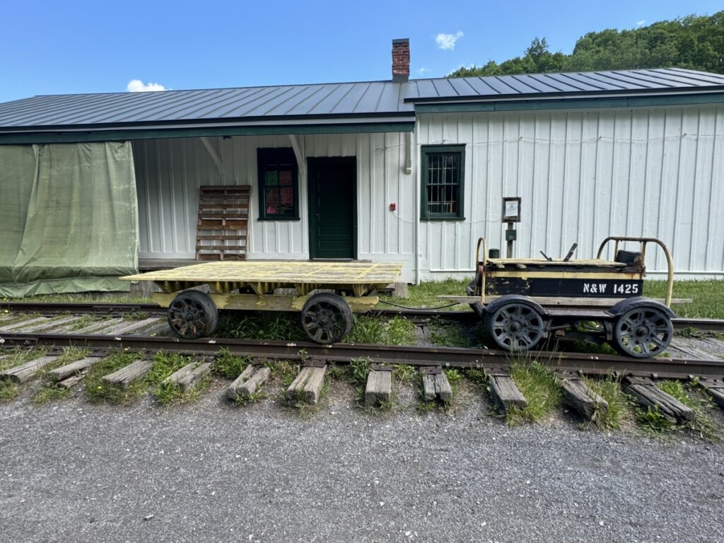
Along the way, a historic railroad station …
… a darling country store and coffee shop called the Green Cove Collective …


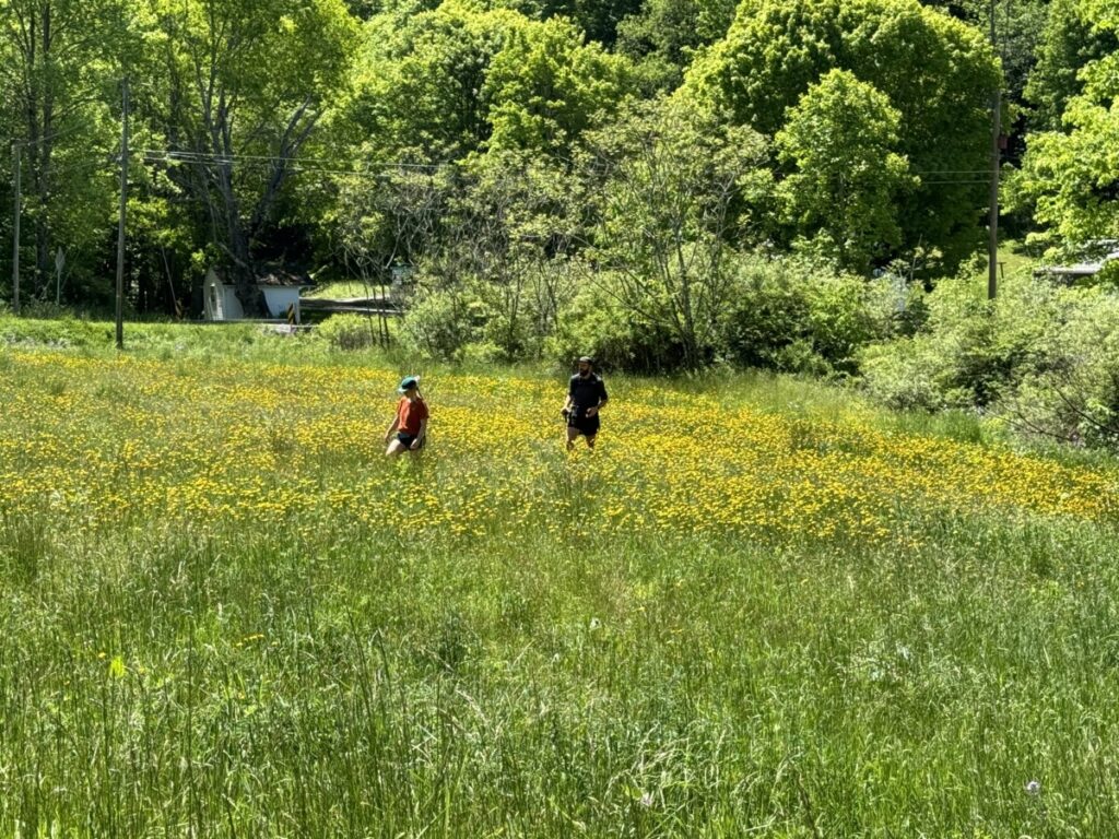
… wildflowers and abandoned barns and meadows …


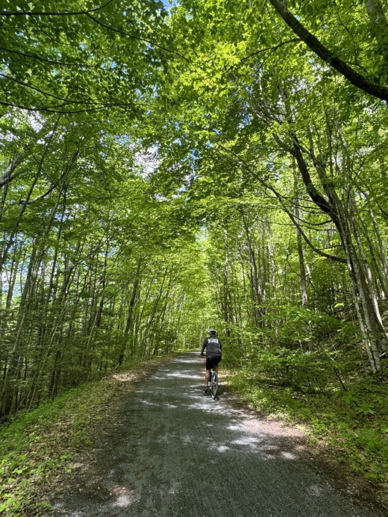
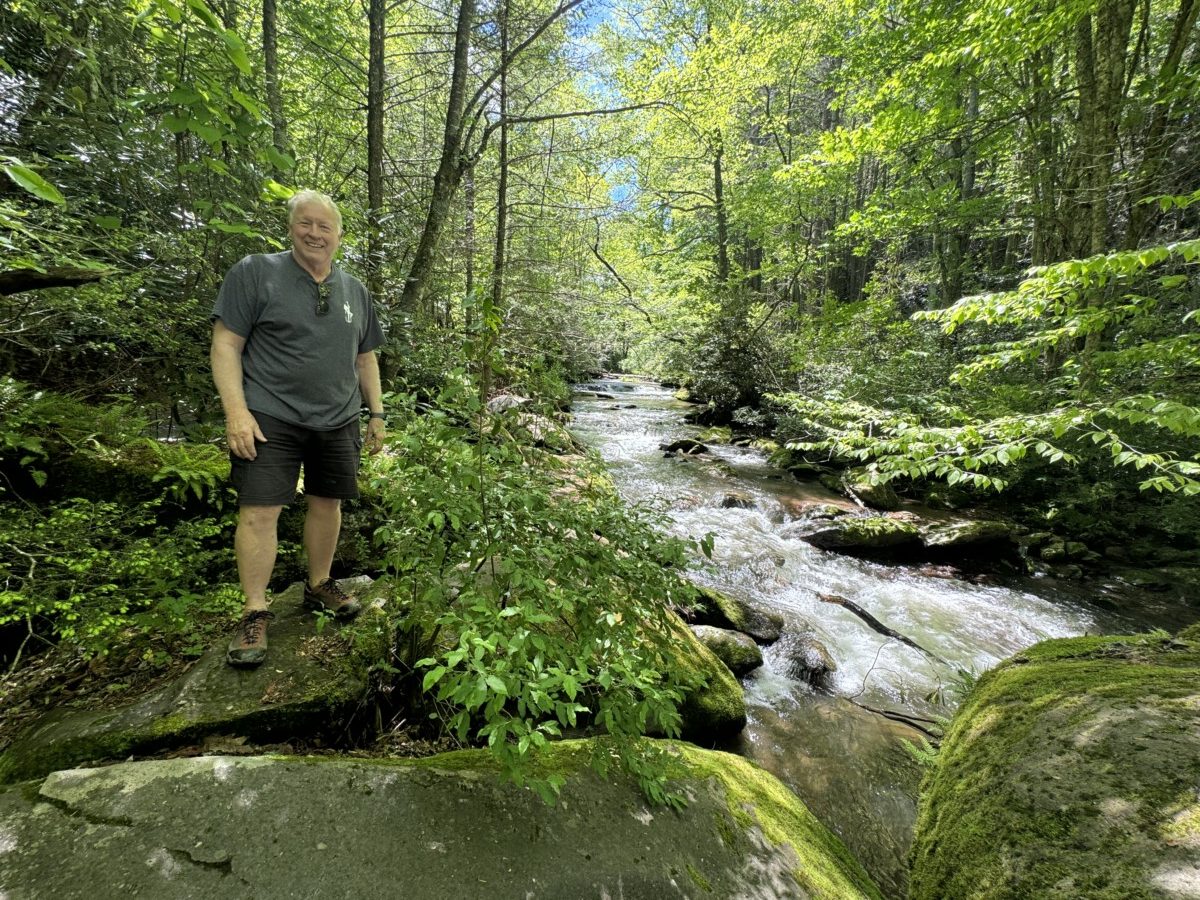
… and endless green scenery around every corner!
Although this was a ton of fun and we would definitely give it **one gigantic glittery gold thumbs up**, CLICK HERE to read about our all-time favorite rail-to-trail bike ride, the Route of the Hiawatha in Idaho!

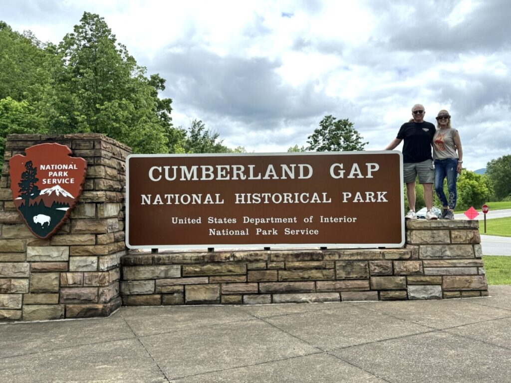
Cumberland Gap National Historic Area
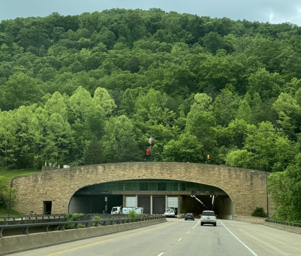
Who else has hiked this area? Famous explorer Daniel Boone, that’s who! Not only did he himself set foot and camp on the aforementioned Virginia Creeper trail (before trains, of course), but also famously made his way through the Cumberland Gap. On our way to Damascus, we visited Cumberland Gap National Historic Park.
Cumberland Gap is located in Tennessee … I mean Kentucky …. I mean Virginia … err, uhhh, all of these, all at once!

Although there is now a gigantic tunnel through these mountains … it wasn’t always that way. /cue the dramatic music/ For travelers who had to walk, the Appalachian mountains were an impenetrable wall, 600 miles long from Canada to Alabama, and 150 rugged miles wide. What to do!?
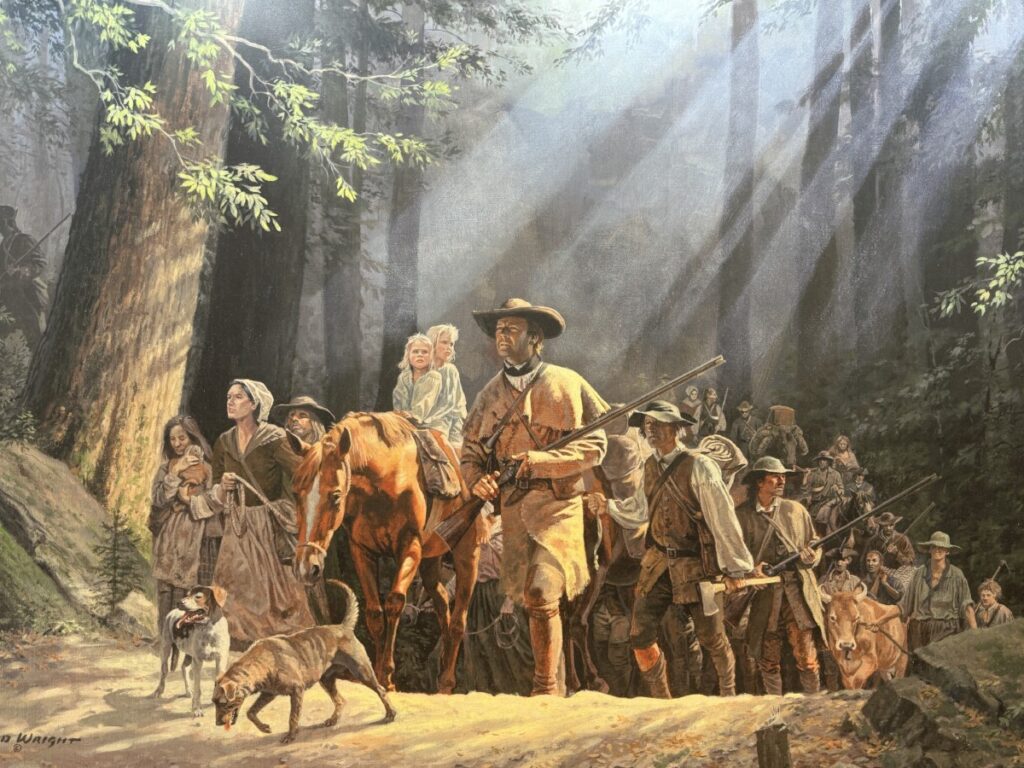
Cumberland Gap was one of very few natural openings in the imposing Appalachian mountains, and Boone opened up the route to a steady stream of civilization marching through here: explorers, pioneers, families, Indians, hunters and traders, buffalo and more. This was the primary route until 1810, when trains and wagon roads took over in importance.
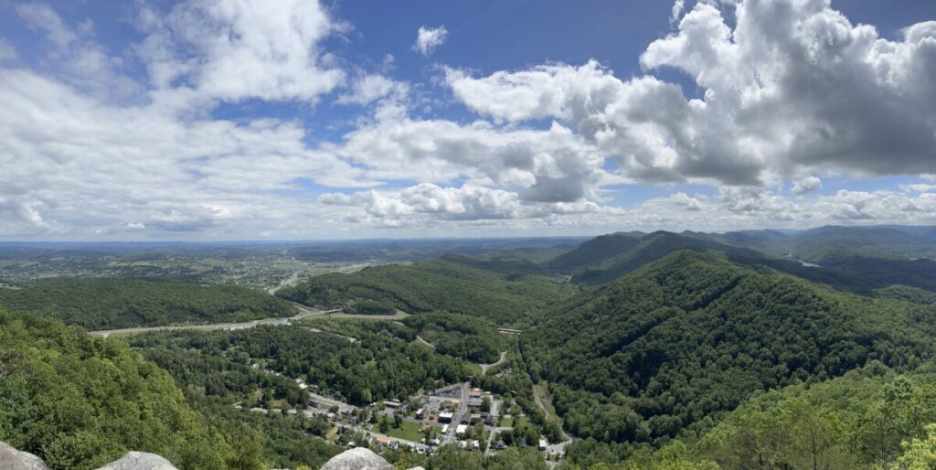
A historic twisty-turny 4-mile road transports you to the Pinnacle Overlook for spectacular views of the valleys below, as well as the tiny town of Cumberland Gap. Other activities at the national historic park include cave tours, historic buildings in a preserved settlement, and tons of dog-friendly hiking trails.

And so we leave Damascus, continuing our own trail onward — just not on foot, thankfully! We’re leaving southwest Virginia, and heading to West Virginia and the New River Gorge National Park!


This was a fun post for me to read, Tessa. For years, friends of ours lived in Damascus, right on the Virginia Creeper Trail. Lucky for us, their creekside property had plenty of room for our RV and they were happy to allow us to stay there with them. They were also kind enough to take in our nephew when he thru-hiked the AT. The Damascus area is lovely, and I’m pretty sure I have Green Cove photos in my collection that are similar to yours. You and Philip are hitting terrific spots, and we’re having a wonderful time tagging along!
Biking the Virginia Creeper Trail is so much fun! We biked it a couple of years ago in the fall and it was spectacular. What a fun experience to be in Damascus for Trail Days—bummer about the rain, but it was certainly a colorful and resilient crowd. Hiking the trail 18 times?? Can you imagine?
I’m impressed that you only have 2,190.4 miles to go to finish the Appalachian Trail. I can’t wait to read all about it in your blog, hahaha!